Projects›BCGA Project
BCGA Project — Building Climate Resilience in Arua Using GIS
Implemented by: Tsevett Agroservices
Location: Arua District, West Nile Sub-Region, Uganda
Focus Areas: Agroforestry, Digital Farmer Profiling, GIS & Remote Sensing, Climate Adaptation, Local Policy Integration
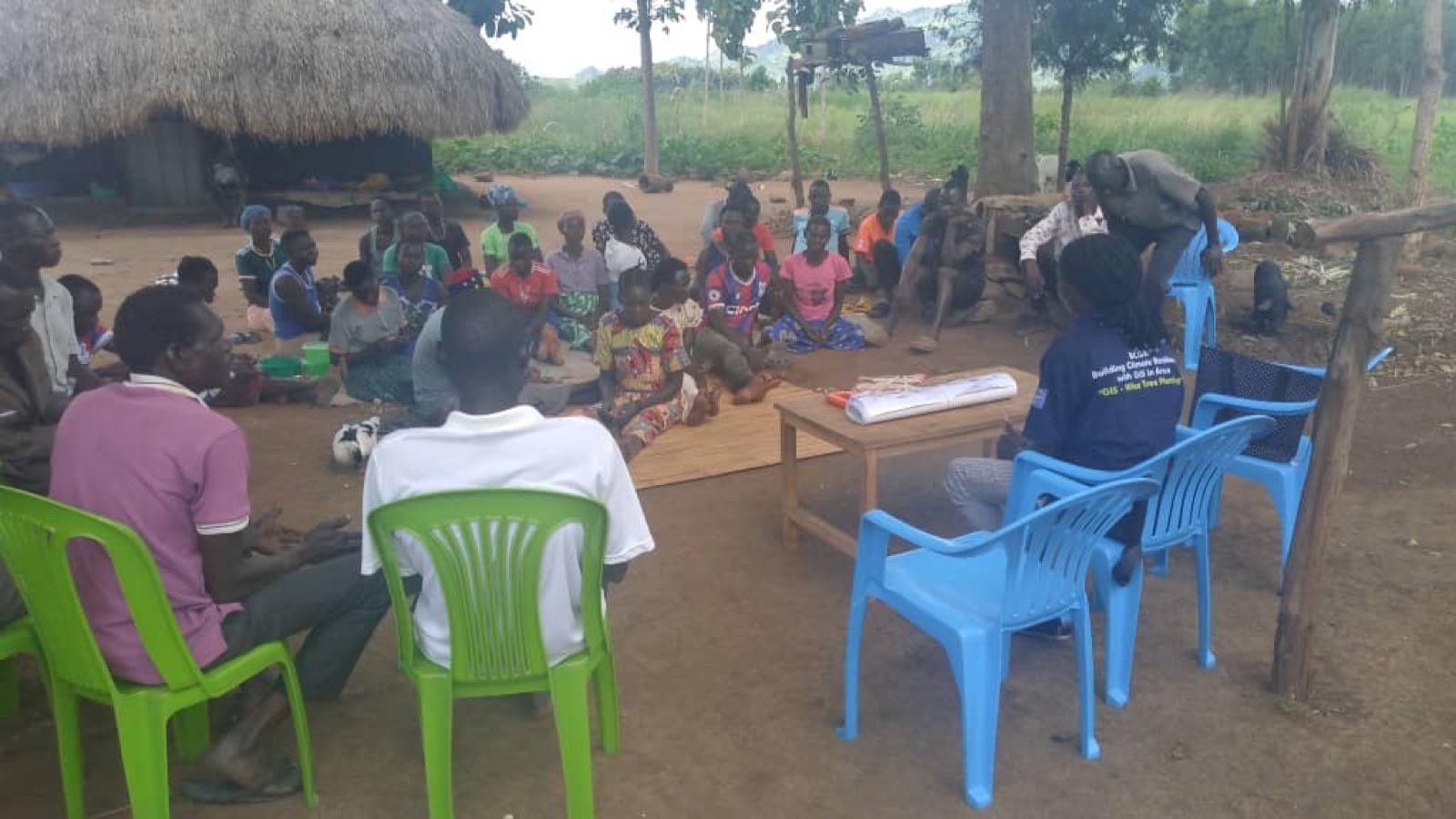
BCGA (Building Climate Resilience with GIS in Arua) is Tsevett Agroservices' flagship climate and land-restoration project in Arua District. It combines digital farmer profiling, tree planting, mobile GIS monitoring, agroforestry training, and land suitability mapping into one model for climate adaptation, food security, and better-informed local planning across West Nile.
How It Works — 6 Pillars
1. Digital Farmer Profiling
We register and map smallholder farmers across the target sub-counties, then collect baseline data on their land, soil health, and farming practices using mobile GIS tools.
2. Tree Distribution & Survival Monitoring
We give farmers tree seedlings suited to their land, then track where they're planted and how well they survive using GPS and regular follow-up visits.
3. Community Agroforestry Training
We train farmers hands-on in soil fertility, intercropping, and combining crops with trees, moving them toward climate-smart, higher-yield farming.
4. GIS & Spatial Awareness in Schools
We run mapping workshops for primary and secondary school students across Arua District, introducing them to spatial technology and conservation.
5. Capacity Building in Universities
We give university students technical training in mobile data collection, open-source GIS, and satellite remote sensing.
6. Land & Crop Suitability Maps
We produce local maps that match crops and tree species to the right soil and terrain, then share them with farmers, extension workers, and local leaders.
See how this work happens on the ground — read our journey.
Inquire About GIS-Based Land Restoration Mapping
Tell us your organization and area of interest — we'll follow up with next steps.
Impact So Far & Project Targets
MetricAchieved So FarTarget
Profiled Farmers300+ households reached1,000+ households
Trees Distributed & Tracked3,000+ seedlings10,000+ seedlings
Educational Outreach—15+ schools & universities
Geographic CoverageKey sub-counties mapped100% of target sub-counties
Also recognized: featured in UNDP posts and showcased at COP 16, with an official partnership with the Youth for Climate Organization and the Italian Ministry of Environment and Energy.
The land and crop suitability maps from BCGA are also used by local government in Arua District. Sub-county agricultural officers and planning committees use them to guide extension resources, identify areas at risk of soil erosion, and plan reforestation.
"Through the BCGA Project, our community didn't just receive trees — we learned exactly where and how to plant them for maximum survival. The spatial mapping helped us understand our own soil potential better than ever before."
— Local Farmer Group Leader, Arua District
Tsevett Agroservices welcomes NGOs, development partners, educational institutions, and government bodies interested in partnering to scale the BCGA model across the West Nile sub-region — get in touch.